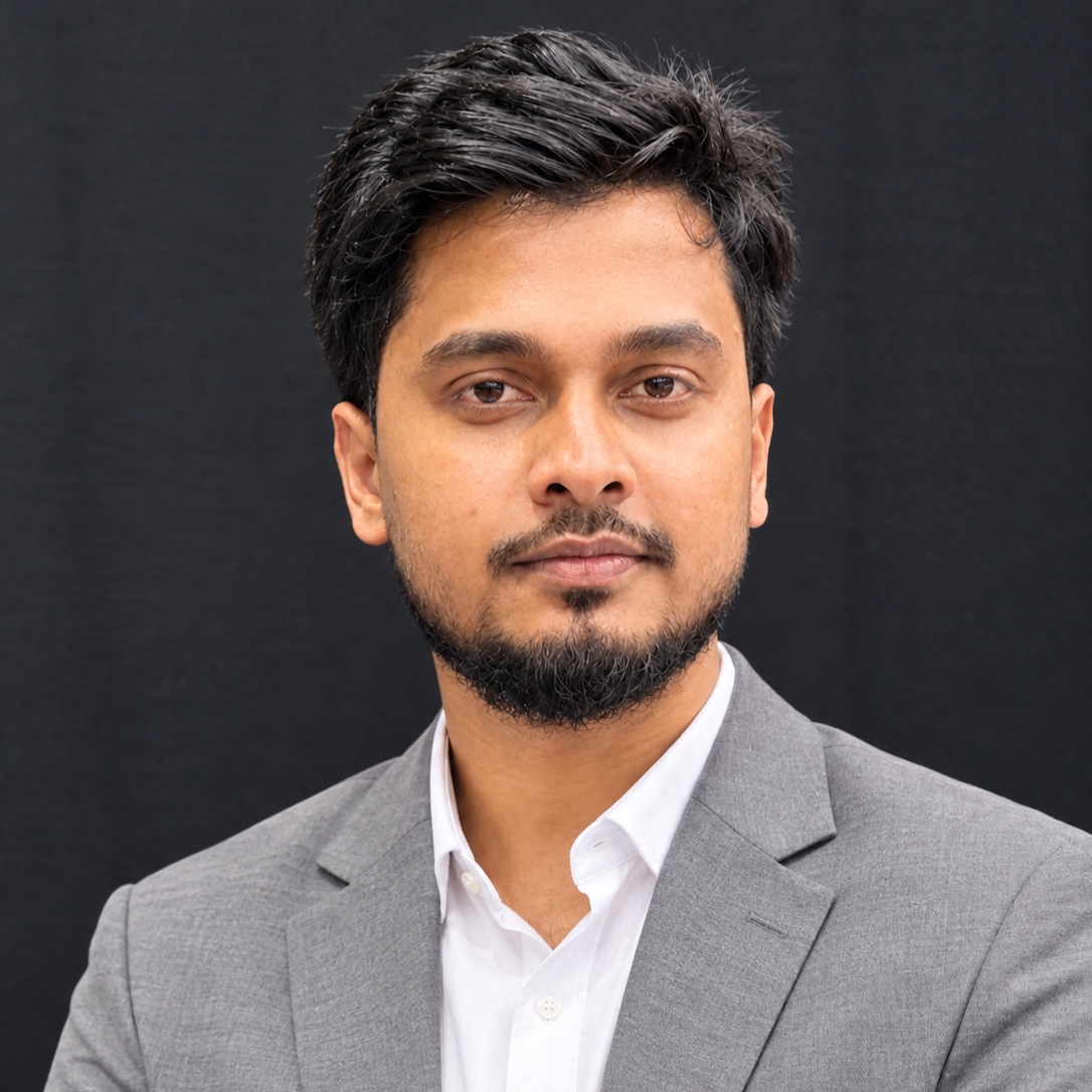
 Mominul IslamHome
GIS · HYDROLOGY · EXPLAINABLE AI
Geospatial science for water and climate risk
I am an MS student in Geography and Environment at Shahjalal University of Science and Technology (expected December 2026) and a GIS Analyst (Water Resources) at SPEKTER GmbH. I combine Earth observation, hydrological and hydraulic modelling, and explainable machine learning to investigate flood susceptibility, hydroclimatic extremes and multi-hazard risk.
My work includes 8 published peer-reviewed articles, 17 manuscripts under review and FloodML-Geo, an open-source QGIS plugin for machine-learning flood susceptibility mapping. I am seeking a PhD focused on compound climate risk, flood modelling and watershed digital twins.
FloodML-Geo
From predictor rasters to spatially validated flood susceptibility maps inside QGIS.
Explore the plugin → MS THESISCompound hydroclimatic risk
Remote sensing and explainable machine learning in Bangladesh’s Teesta River Basin.
View thesis details → PUBLISHED RESEARCHWhat shapes earthquake risk?
Physical and social factors assessed through spatial meta-regression in Bangladesh.
Read the article ↗Research Area
- AI and Machine Learning for Geospatial Analysis
- GIS and Remote Sensing
- Watershed Digital Twins
- Climate Risk and Vulnerability Assessment
- Hydrological Modelling and Flood Risk Management
- Hydroclimatic Extremes
- Earth Observation
Goal
- To develop innovative, data-driven approaches that connect geospatial science, hydrology, AI, and climate research to better understand environmental risks.
- To translate research into practical solutions for resilient communities, sustainable water systems, and climate-informed decision-making.
Education
Research project: What Shapes Earthquake Risk in Bangladesh? Geospatial Insights from Physical and Social Factors Using a Spatial Meta-Regression Approach
Work Experience
Support hydrological and hydraulic modelling and GIS-based spatial analysis with SMS and the MIKE suite for water-infrastructure and flood-risk projects.
- GIS and remote sensing data processing and geospatial and statistical analysis (ArcGIS Pro, QGIS, Google Earth Engine) supporting departmental research on flood, earthquake and climate-risk assessment.
- Applied machine learning and explainable AI methods (Random Forest, XGBoost) to hazard susceptibility mapping and risk modelling.
- Co-authored and contributed to peer-reviewed manuscripts, including Q1 outlets (see Publications).